Hiking
Walking trail on Lašček: Cvetrež - Bremec - Lašček
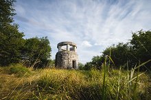
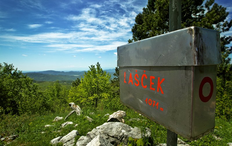
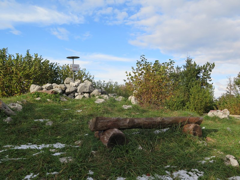
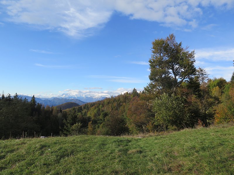
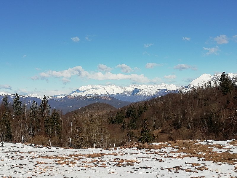
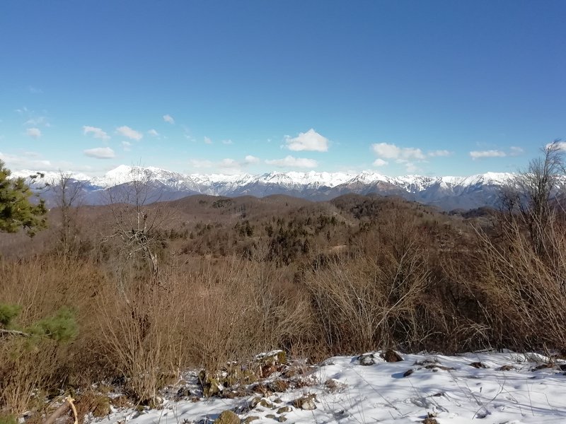
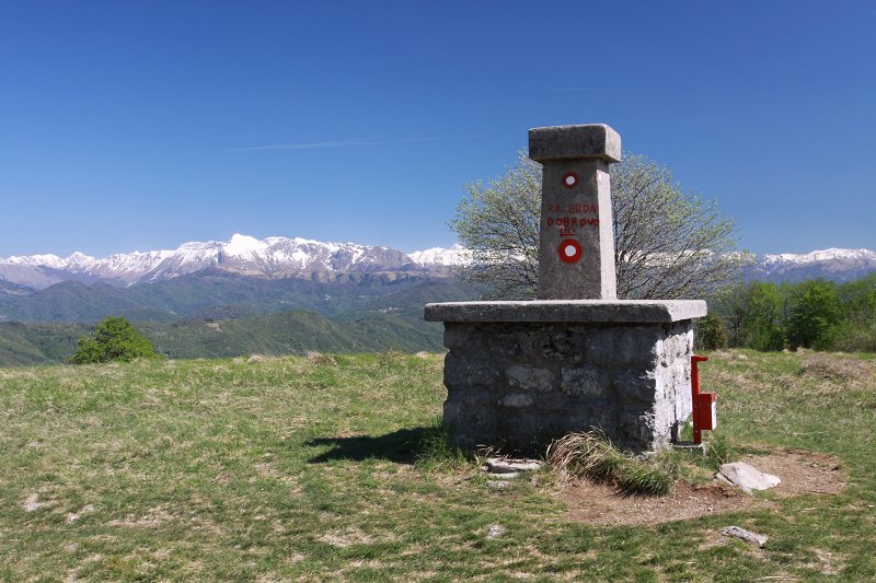
The forest path, by which we parked our car, splits immediately into two parts. We choose to go left and start descending slowly. After a couple of minutes of walking, we continue slightly to the right on the earth-track. The earth-track, which continues through the forest, takes us quickly to the crossroads of several paths and we select the one to the extreme left. The path then starts ascending moderately and we start walking on a somewhat narrower earth-track. Higher up, the earth-track becomes more gradual and leads us to the place, where it splits into two parts. Once again, we choose the left earth-track, which turns slowly into a poorly trodden path. Soon the path becomes wider again and leads us to the meadows under the »former« Bremec Homestead. At Bremec the path connects also with a road. However, we continue on past the house and along the gradual earth-track. From Bremec on, the forest starts getting a bit thinner, thus beautiful views on Matajur and Kanin and higher up on Krn and other surrounding mountain tops start to open. Somewhat further on we arrive at a larger meadow, where there is also a smaller pass. At this point, we leave the earth-track and continue to the right, across the meadow and to the shrub belt. The path over the meadow is of poor visibility, although as soon as we enter the shrub belt, there is no problem with the orientation. After a shorter gradual ascent we reach the other earth-track, which we follow to the left and leave it after a few metres, as blazes point us to the right, on a somewhat steeper mountain path. Only a little ahead, we reach a well-marked crossroads, where the path from Lokovec (starting point Pri Cerkvi) connects from the right, the path to the crossroad Vrh Ječmenc descends from the right, while a path to Lašček goes straight on. From the crossroad on we ascend gradually mainly through a low forest. The path we are on leads us quickly to the lookout at Lašček.
Information: PD Valentin Stanič Kanal, www.pd-kanal.nvoplanota.si
(Vir podatkov: PZS, kataster planinskih poti)
