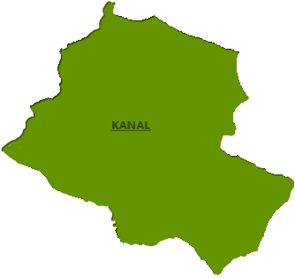
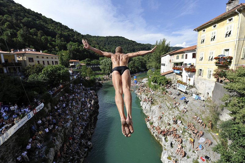
Kanal and surroundings
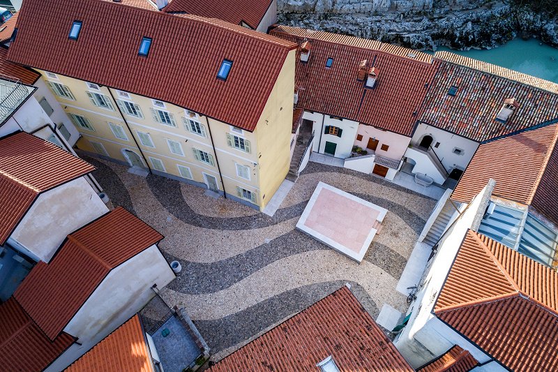
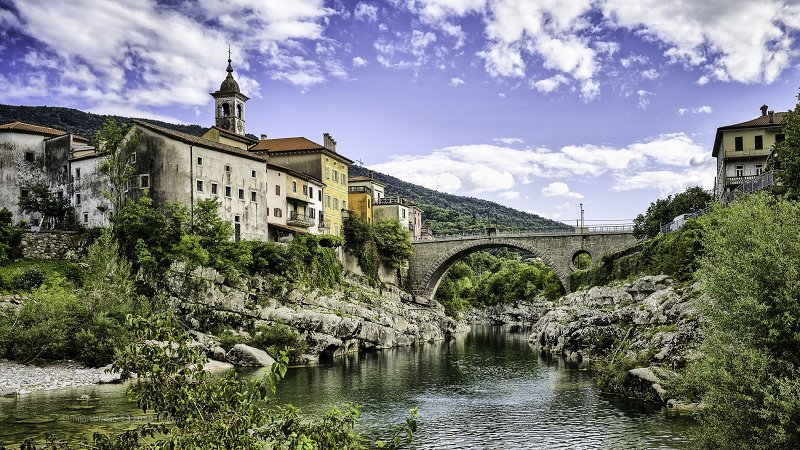
Kanal is situated in western Slovenia, in the Central Soča Valley at the border with Italy and its Friuli Venezia Giuglia region. It is wedged between the hills of Kanalski Kolovrat and Banjšice plateau. This Mediaeval town with its rich cultural heritage lies on the banks of the River Soča, which are linked by a bridge. Kanal has developed through the centuries. The first settlers of Kanal were artisans and tradesmen.
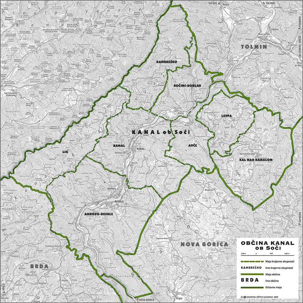
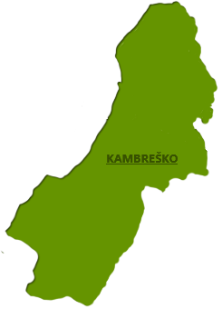
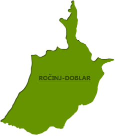
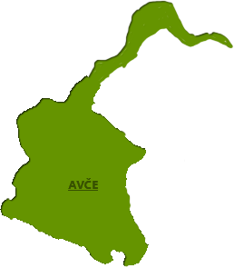
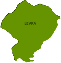
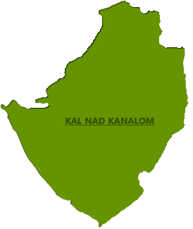
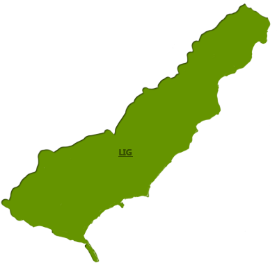
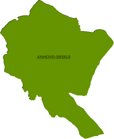
In view of its area (i.e. 147 square kilometres), the Municipality of Kanal ob Soči is considered as a big municipality, but the size of its population (i.e. 5,245) renders it a medium-size municipality. The Municipality is divided into eight local communities: Kanal, Deskle, Ročinj, Kambreško, Lig, Avče, Levpa and Kal nad Kanalom. The largest towns of the Municipality are Kanal and Deskle, each one of them having a population of 2,000.The remaining communities are mostly hamlets or just single and very small villages.
Altitude of Kanal: 104 m.
The distance of Kanal from major centres:
- Dobrovo (Goriška Brda): 18 km
- Tolmin: 19 km
- Nova Gorica: 20 km
- Kobarid: 31 km
- Bovec: 51 km
- Koper: 96 km
- Ljubljana: 126 km
- Bled: 174 km
- Maribor: 253 km
- Udine (Italy): 50 km
- Trieste (Italy): 72 km
- Klagenfurt (Austria): 145 km
- Venice (Italy): 164 km
- Milan (Italy): 429 km
How to get to Kanal?
-
BY CAR
- From Bovec: Take the road 203 to get to Kobarid, then road 102 to Tolmin and continue on the road 103 to Kanal.
- From Ljubljana: Follow signs to Razdrto on the highway A1 (E70), and then to Nova Gorica along the motorway H4 and follow the road 103 to Kanal.
- From Koper: Take the road H5 to Srmin, then continue to follow Razdrto on the highway A1 (E70), and then to Nova Gorica by the motorway H4 and follow the road 103 to Kanal.Information about the vignette: www.dars.si.
Information about the situation on the roads: Traffic Information Centre - www.promet.si.2. BY TRAIN
The train stops at the Kanal station, which is situated about 400 m from the centre of Kanal. Train schedules can be found at the following link www.slo-zeleznice.si.3. STEAM TRAIN ALONG THE BOHINJ RAILWAY
Bohinj railway is a unique technical monument of the region, which goes through Baška ravine, Kanal and continue its way to Nova Gorica. The train passengers can admire many bridges, viaducts and tunnels.
4. BY BUS
The Bus Station is located in the centre of Kanal. Bus Schedules from Nova Gorica and Bovec can be found on the following website www.avrigo.si.5. BY PLANE
The nearest international airports (distance from Kanal):
- Jože Pučnik Airport (Ljubljana) - 146 km (Information: www.adria.si)
- Trieste Ronchi Airport (I) - 52 km
- Klagenfurt Airport (A) - 149 km
- Venice Treviso Airport (I) - 149 km
- Venice - Marco Polo Airport (I) - 154 km
- Zagreb Airport (HR) - 268 km.