Hiking
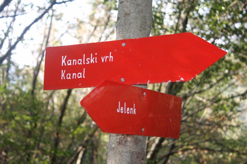
Walking trail on Jelenk: Kanal - Kanalski Vrh - Jelenk
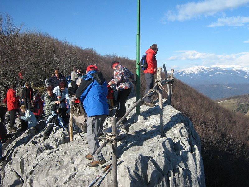
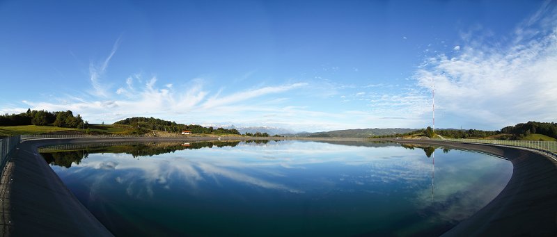
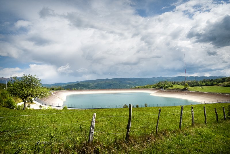
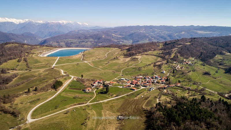
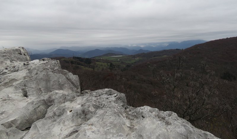
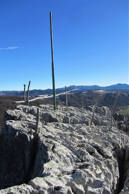
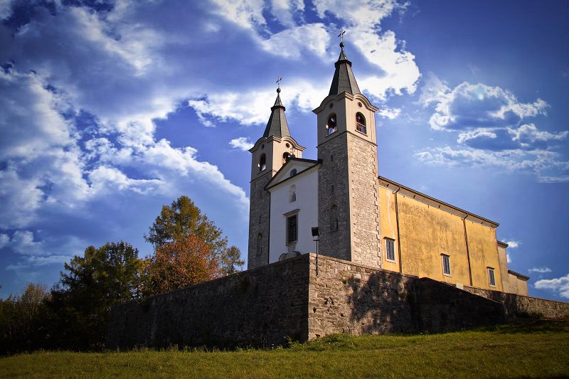
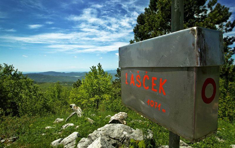
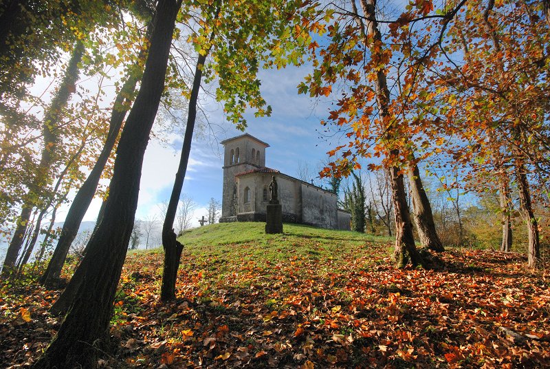
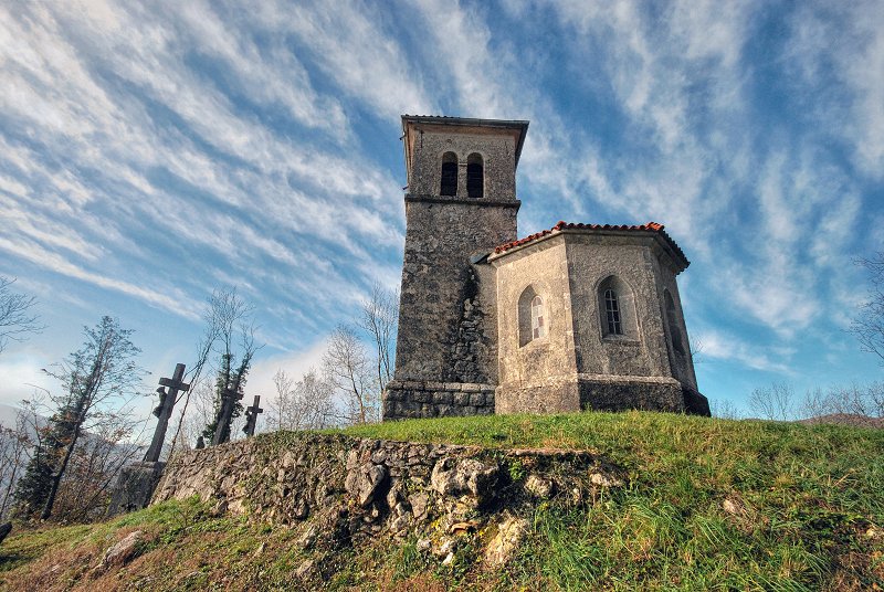
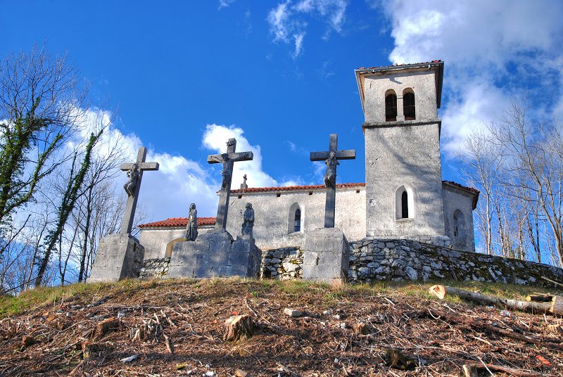
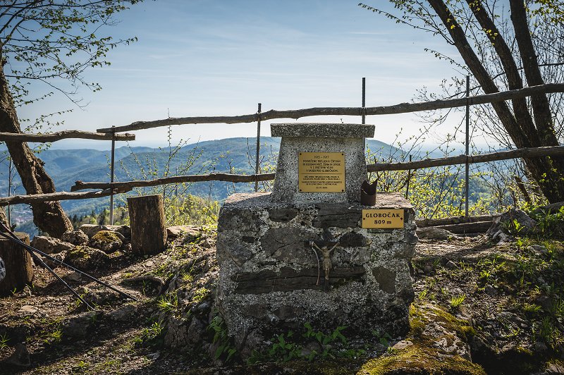
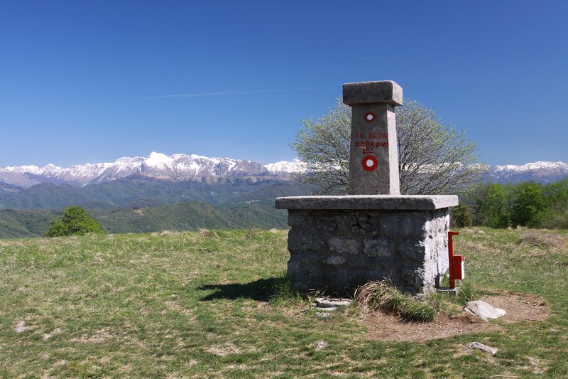
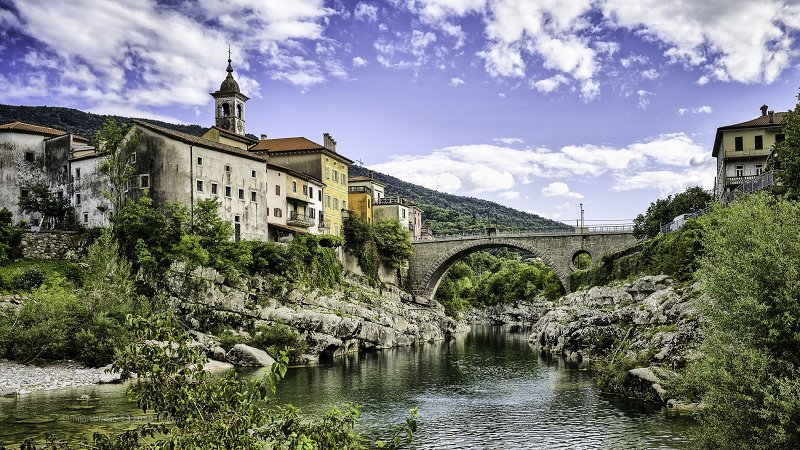
The top of Jelenko (787 metres above sea level) is extremely rugged with typical Karren (i.e. elongated grooves on the barren surfaces of the hard limestone that form under the influence of flowing water). Therefore, we urge you to walk carefully along the sharp rocky ridges. Towards the northwest and north, there opens a view of the Alps with Matajur in the foreground, while the Kanin mountain range stretches itself in the background. Right from here reign Krn and Vrh (above Peski) followed by the Tolmin-Bohinj Mountains. Right in front of us is Kanalski Vrh, where an artificial lake, Avče PSP, lies behind the village (a man-made reservoir that belongs among the pumped storage plants and is one of the first examples of the construction of such a lake in Slovenia). If we look to the south, we can spot Sveta Gora and Sabotin, while Bate can be seen just below the foot of Jelenko. Kanalski Vrh is a settlement found at an altitude of 589 metres. Already at the entrance into the village it can be seen clearly that agriculture, mainly livestock, is developed here, so it will not be unusual to see a tractor, a baler or other farm equipment. During the walk you will be greeted by numerous cows that watch the hikers curiously. The village is famous for its St. Anton Padovanski Church that is located on top of the hill, just outside the village of Kanalski Vrh.
Information: PD Valentin Stanič Kanal, www.pd-kanal.nvoplanota.si
(Vir podatkov: PZS, kataster planinskih poti)